Comprehensive Rezoning
CommunityScale leads comprehensive rezoning projects that modernize a community’s entire zoning code. These projects address outdated regulations, improve code legibility, ensure compliance with current enabling legislation, and align zoning with adopted plans and community goals. The process typically includes a complete rewrite of use definitions, dimensional standards, administrative procedures, and design requirements, often accompanied by zoning map amendments.
CommunityScale works with legal partners to ensure defensible zoning language and manages community engagement throughout the adoption process. As communities face evolving state requirements like the Affordable Homes Act and MBTA Communities mandates, comprehensive rezoning provides an opportunity to integrate new requirements into a coherent, modern code rather than layering overlays onto an outdated framework. Each rewrite is informed by housing supply analysis and fiscal impact considerations to ensure the new code supports the community’s growth and affordability goals.
Projects featuring comprehensive rezoning:
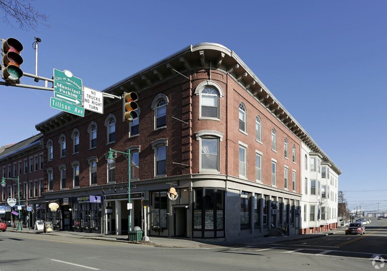
- Lynn, MA: comprehensive zoning rewrite (adopted unanimously)
- Melrose, MA: zoning recodification
- Lowell, MA: citywide comprehensive rezoning
- Everett, MA: complete recodification
Related reading:
- Nesting zoning use definitions into functional groups
- The Affordable Homes Act and planning in Massachusetts communities
- Thoughts on how Everett became a housing boomtown in the Boston area
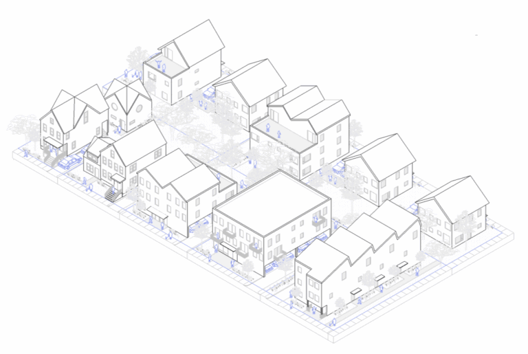
New mixed-use districts
CommunityScale designs zoning districts that enable walkable, mixed-use, and transit-oriented development. New districts are crafted to reflect community goals around housing variety, neighborhood character, and economic vitality while meeting state requirements such as Massachusetts’ MBTA Communities Act. Districts typically include tailored dimensional standards, use tables organized by functional groups, design guidelines, and provisions for a mix of housing types from missing middle to multifamily.
CommunityScale’s district zoning work often pairs with affordability analysis and fiscal impact evaluation to ensure that new districts produce housing that communities need and that the development economics work. As described in our overview of rolling out state-required multifamily zoning, these districts balance state compliance with local planning priorities.
Projects featuring new zoning districts:
- Malden, MA: transit-oriented development district
- Dedham, MA: transit-oriented development district
- Wakefield, MA: transit-oriented development district
- Sherborn, MA: multifamily zoning overlay
- North Attleboro, MA: mixed-use zoning overlay
- West Natick, MA: mixed-use zoning district
- Dayton, OH: onMain mixed-use district
Related reading:
- Rolling out new state-required multifamily zoning
- Five lessons learned drafting an MBTA Communities overlay for Lowell
- How zoning for data centers could actually benefit your community
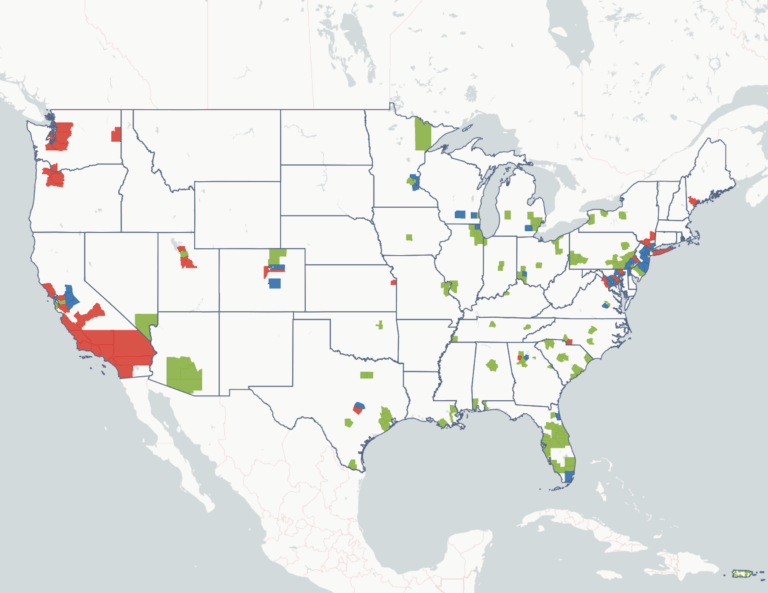
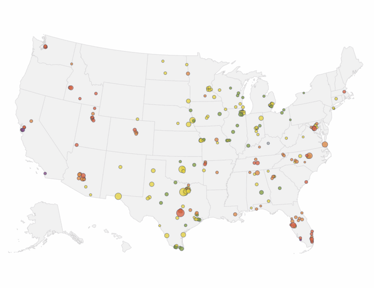
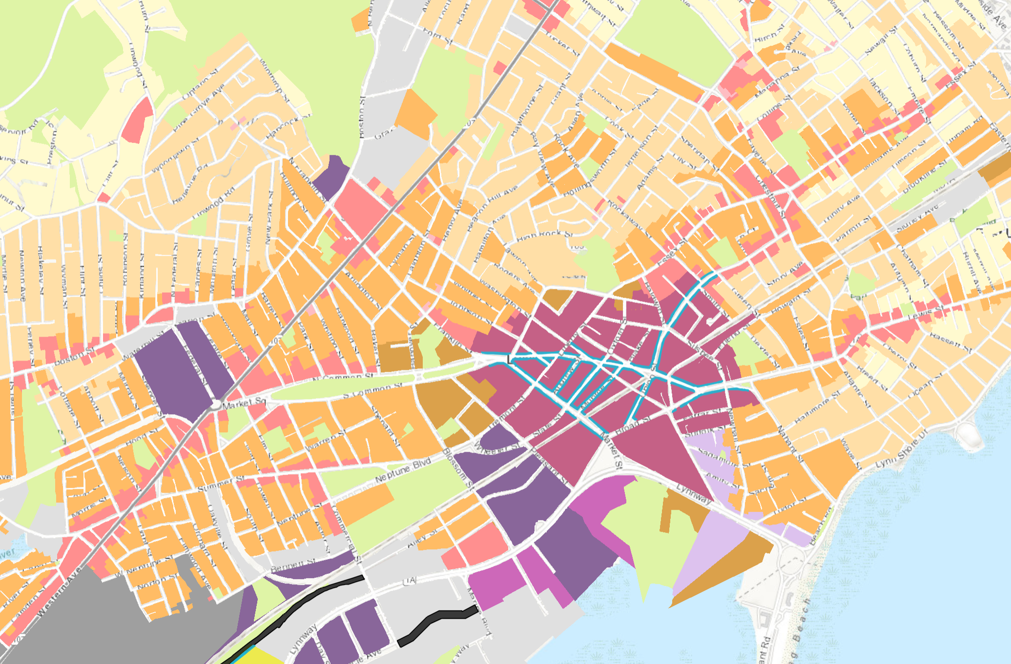
Interactive zoning maps
CommunityScale builds custom interactive web maps that let residents, planners, and elected officials explore a community’s zoning landscape alongside land use, parcel data, and development context. Built using an open source approach, these maps allow users to click on any parcel or zoning district to view dimensional standards, allowable uses, and related data. Maps can incorporate buildout analysis, compliance modeling, and scenario comparison, making them a powerful engagement tool during zoning updates and planning processes.
Interactive maps often accompany broader zoning and housing planning projects, helping communities visualize how use definitions, dimensional standards, and overlay boundaries relate to the built environment. They support transparency and public understanding at each stage of a project, from initial analysis through adoption.
Projects featuring interactive maps:
Related reading: