CommunityScale completed a Regional Market Value Analysis (MVA) for the Omaha-Council Bluffs metropolitan area in partnership with the Metropolitan Area Planning Agency (MAPA). Funded through a grant from Front Porch Investments, the MVA provides an interactive baseline for understanding relative housing market conditions across the six-county region spanning Nebraska and Iowa.
A bivariate approach to market analysis
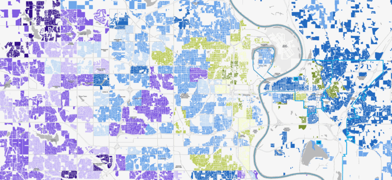
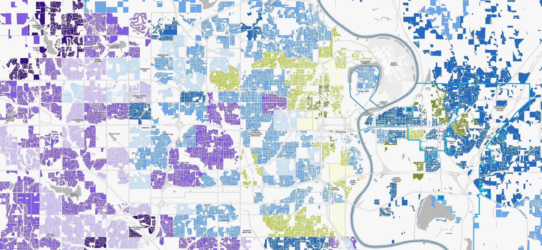
The MVA measures each Census tract on two dimensions: current market condition (disinvested, somewhat competitive, or competitive) and rate of change over the past five years (not improving, keeping up, or changing quickly). This creates a 3×3 grid of nine neighborhood typologies, each calling for different strategies and interventions. The index draws on 17 input variables spanning market conditions, quality of life, and housing affordability, from building permits and home prices to air quality and walkability.
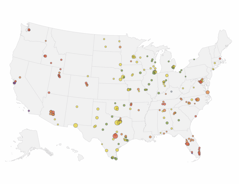
Data sources include ACS Census estimates, assessed property values, home sales and listing data, multifamily cap rates, school scores, blight designations, and mortgage denial rates. We prioritized nationally available datasets to ensure uniform coverage across the region’s mix of urban, suburban, and rural communities, and developed proxy measures where local data was unavailable.

From data to strategy
Beyond the base index, we developed three risk overlay analyses that add depth to the MVA map. A hedonic regression model identifies where homes sell above or below expected prices for their type, isolating the effect of location on value. An assessment-to-sale gap analysis highlights areas where appraisals may fall short of purchase prices, creating financing barriers for homebuyers. And a displacement risk index flags neighborhoods where long-term residents, particularly seniors and communities of color, may face pressure from changing market conditions.
We translated findings into a Strategy Toolkit with ten neighborhood vignettes covering all nine place types. Each vignette profiles a real community within the MAPA region, explains what is driving its MVA score, and identifies targeted policy responses. Strategies range from first-time homebuyer assistance and land bank activation in historically disinvested areas of North Omaha to zoning reform and proactive infrastructure planning in growing rural communities.
Built for ongoing use
The MVA is published as an interactive StoryMap with downloadable data, designed for four primary audiences: local planners anticipating trends for land use and transit planning, affordable housing developers identifying sites for investment, foundations targeting disinvested or at-risk neighborhoods, and policymakers comparing conditions across their districts. A Strategic Plan outlines how MAPA can maintain, update, and extend the tool over time, including recommendations for future data overlays and integration into regional planning processes like the upcoming Comprehensive Economic Development Strategy.
Project deliverables include the interactive map and data platform, a full report document, the Strategy Toolkit, an overlay analysis memo, and a comprehensive data library with all index inputs and scores by Census tract. The project included extensive stakeholder engagement through focus groups with planners, developers, foundations, and policymakers across both states.